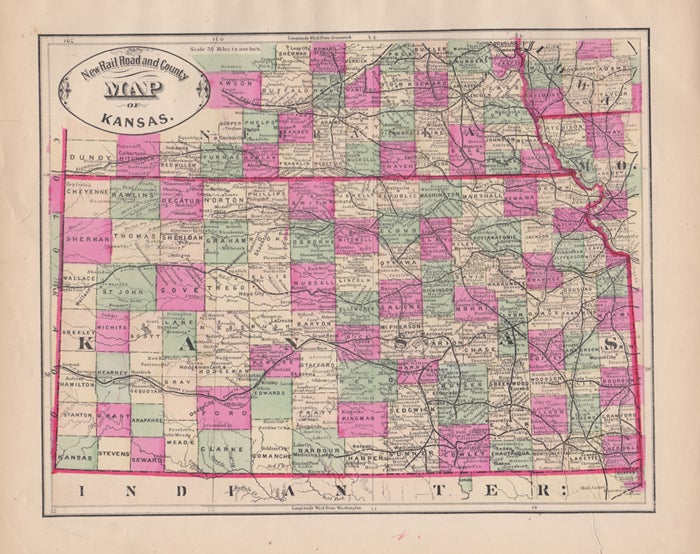
New Rail Road and County Map of Kansas.
[Chicago]: George F. Cram, [ca. 1882]. One sheet (30 x 35 cm). 30 x 23.5 cm. (11 1/2 x 9 1/4 inches). Very good, light marginal foxing, and a few marginal tears not crossing neat line. Phillips 901. Item #43521
Hand colored. Title inside oval cartouche. Scale 36 miles to 1 inch. Taken from "Cram's Illustrated Family Atlas of the World." There were numerous versions of the New Rail Road and County maps by published by Cram and Henry S. Stebbins, with later versions machine colored due to the expense of hand coloring.
Price: $50.00
See all items in
Americana,
Western Americana
See all items by George F. Cram