![Item #44574 [Map] East Canada and New Brunswick. John Rapkin, John Tallis.](https://kaaterskillbooks.cdn.bibliopolis.com/pictures/44574.jpg?width=768&height=1000&fit=bounds&auto=webp&v=1591211713)
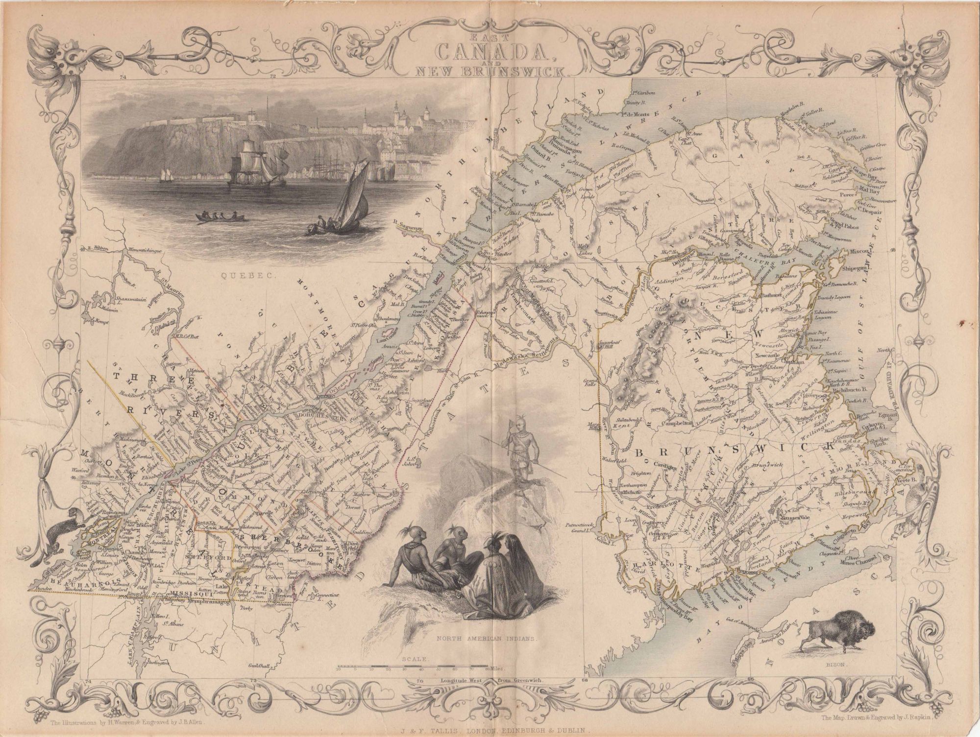
[Map] East Canada and New Brunswick.
London, Edinburgh & Dublin: J. & F. Tallis, [ca. 1857]. 1 sheet folded. Engraved map outlined in color. 13 x 10.5 inches. Trimmed without loss, mounted to card stock, a few edge tears, faint soiling, verso reinforced tape, still good. Item #44574
Contains decorative border. Illustrations for the map were drawn by H. Warren & engraved by J.B. Allen, and depict a view of Quebec, a small group of North American Indians, a bison, and a mink (not labeled). In most editions an official Canadian seal is found in place of the bison. Perhaps taken from from: Robert Montgomery Martin's Tallis' Illustrated Atlas, [1851-1857] according to The W. H. Pugsley Collection of Early Canadian Maps.
Price: $75.00