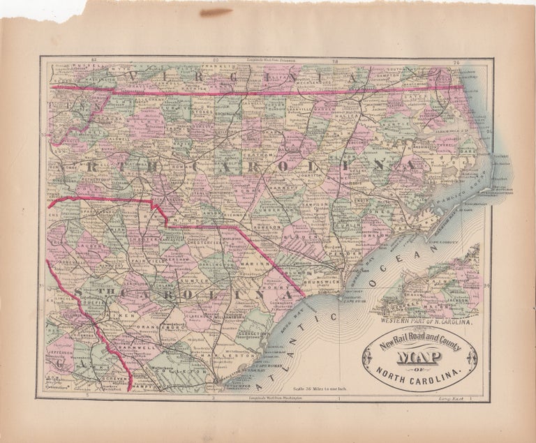
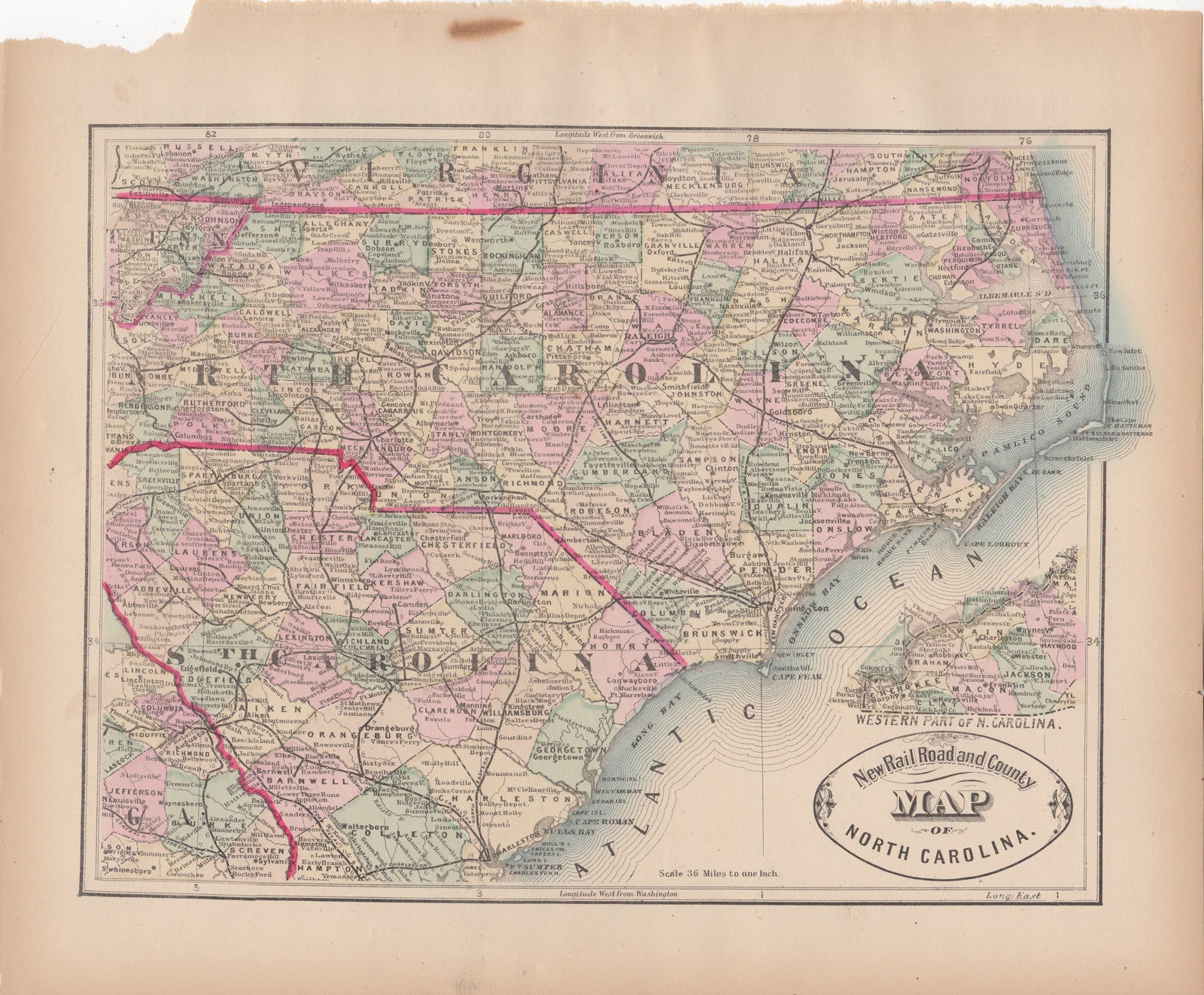
New Rail Road and County Map of North Carolina.
[Chicago]: George F. Cram, [ca. 1882]. One sheet (30 x 35 cm). 30 x 22.25 cm. (11 3/4 x 8 7/8 inches). Very good, a few tiny tears and one large tear to top corner, marginal soiling. Phillips 901. Item #44536
Hand colored. Title inside oval cartouche. Scale 36 miles to 1 inch. Taken from "Cram's Illustrated Family Atlas of the World." There were numerous versions of the New Rail Road and County maps by published by Cram and Henry S. Stebbins, with later versions machine colored due to the expense of hand coloring.
Price: $50.00
See all items by George F. Cram